White sandy beaches from the Isla Canela to Matalascanas on the Atlantic coast of the Costa de la Luz
By Nick Nutter | Updated 25 Aug 2022 | Huelva | Places To Go |
Login to add to YOUR Favourites or Read Later
Isla Cristina
Running from the Rio Guadiana that forms the border with Portugal at Ayamonte down to the Rio Gualdaquivir, the coast of Huelva Province is some 140 kilometres of soft pale sand. The coast and its immediate hinterland were formed over hundreds of thousands of years by the deposition of sand in the form of dunes. These were eventually colonised by herbs, shrubs and then trees as the land ‘advanced’. On parts of the coast, this process can still be seen in the formation of sand spits at the mouths of the rivers that bisect the coast. For huge lengths of the coast, the vegetation has been left undisturbed and many areas of marismas have protected status. In winter this coast is virtually deserted and, during storms, the Atlantic pounds onto the shore. It is truly a wild unspoilt part of Andalucia.
Isla Canela
The entire coast can be divided into four packages, the coast of Isla Canela, that of Isla Cristina and the coast down to the Rio Piedras estuary, to the Rio Odiel estuary at Punta Umbria and finally the long sweeping stretch, half the total length, of the Donana coast to the Rio Guadalquivir. The Donana is a Parque Nacional with access to many areas being denied to most people to protect the environment however the borders of the park are man-made, nature does not recognise them and the whole coast has the same characteristics as the Donana itself, furthermore people are encouraged to visit and enjoy those areas with the introduction of footpaths and tracks. Many of the species of flora and fauna to be seen in the Donana can also be seen in these adjoining areas.
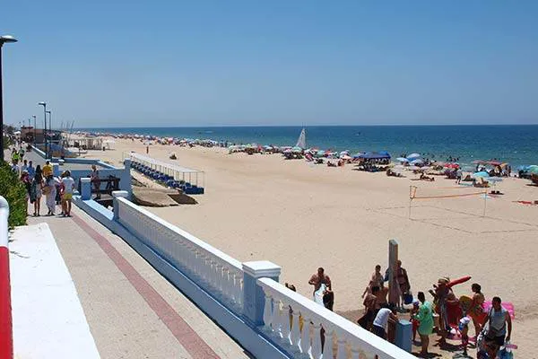
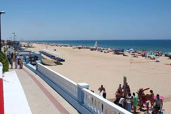
Playa de Matalascanas
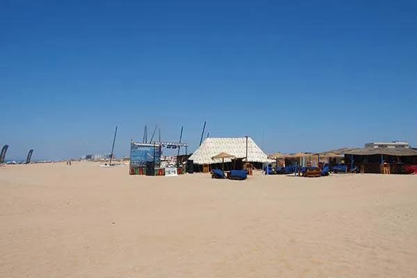
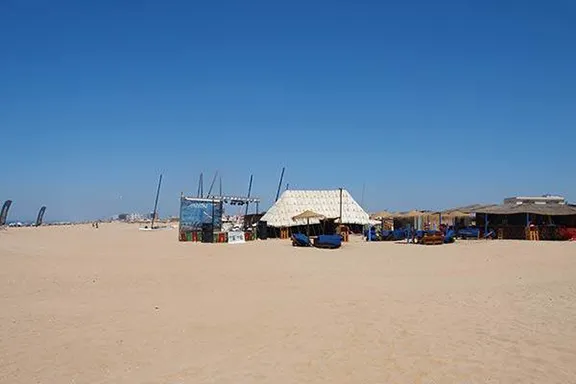
Punta Umbria
Rio Piedras
Torre le Loro
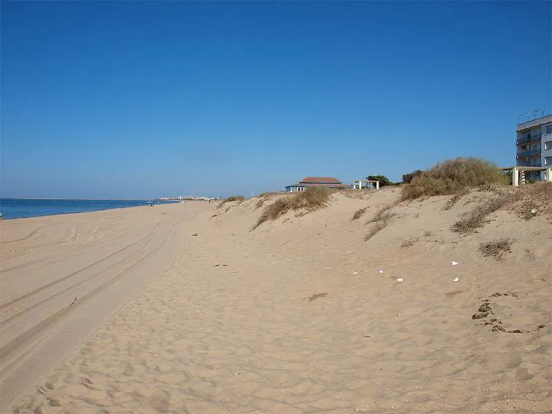
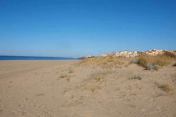
Fine pale sand forms a broad strip between dunes and sea. The dunes are covered in tough grasses and salt hardy, low shrubs. Behind the dunes are the hotels and apartment blocks of the Isla Canela resort but they are so far back they are not intrusive and behind the resort, between the buildings and the mainland is a broad area of marismas with a winter population of migratory birds including hundreds of oystercatchers. At the eastern end of Isla Canela is the Spanish fishing village called Punta del Moral, a group of fishing cottages and a couple of fish restaurants and the modern marina development Marina Isla Canela separated from the latter by a wide tidal channel. From here, during the summer, you can take boat trips up the Rio Carreras and a ferry across the same river to Isla Cristina.
The town of Isla Cristina depends on two resources, salt from the salt pans or salinas, near the town, some of which are still operational, Flor de Sal is still an important commodity, and fishing. In the protected area north-west of the town there is a company that prides itself on producing hand made salt using techniques practiced for over 3000 years. The number of trawlers and smaller fishing craft alongside the piers testify to the size of the Atlantic fishing industry here.
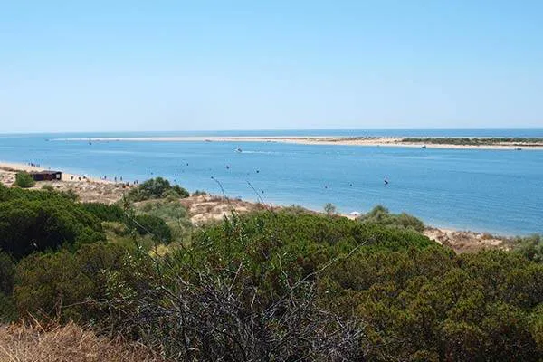
The westernmost beach, Punta del Caiman, is in the protected arc formed by the estuary. 400 metres south-east, over the sand dunes, the Atlantic beaches that sweep all the way to the Rio Guadalquivir start with Punta de la Gaviota. There is an unbroken run of beaches, all accessed from various points on the coastal road that runs behind the dunes from Isla Cristina to La Antilla and then El Terron on the estuary of the Rio Piedras. There is a 10-kilometre long sand spit called La Flecha del Rompido that has built up at the mouth of the river, parallel to the mainland. The beaches are uniformly pale sand, broad with mature dunes.
El Terron, well inside the sheltered arm of the Rio Piedras, is a fishing port. Although many of the fishing boats are ocean-going, modern affairs, the nets they carry are still repaired by hand. A thankless task when the temperatures are in the upper 30s.
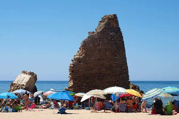
From the Rio Piedras, the nature of the dunes change. They are much older and have a good growth of pine trees on them as well as grasses and salt hardy shrubs. The road to these beaches starts at Cartaya, some 12 kilometres up the river, and follows the river down to El Rompido and then east again behind the dunes. You will arrive at a very pretty port called Nueva Portil. From there you have good views across the river to the Flecha del Rompido. A small commercial development with locales in the style of African village huts, rondellos, is situated above the river. Here you can cool down with a cold drink and some really excellent ice cream. The beaches are again broad pale sand backed by dunes. From Nueva Portil the beaches continue, unbroken, all the way to Punta Umbria, a spit of land that projects into the Atlantic on the west side of the Rio Odiel on which the city of Huelva sits. Punta Umbria is distinguished by a 16th century Torre and similarly aged church. The old part of town has disappeared under more recent developments and it is now a thriving fishing port. The beach at Punta Umbria and El Portil were awarded blue flags in 2015.
The character of the coast changes again as you cross the Rio Tinto at Huelva on the coast road to Mazagon. You enter a world of huge fossilised dunes overgrown with mature pines and junipers with tamarisk and rock rose growing below. The coast road starts at Mazagon and runs more or less parallel to a beach that is an unbroken 60 kilometres of white sand sweeping to the estuary with the Rio Guadalquivir. The road itself however only takes you as far as Matalascanas, about 30 kilometres, and beyond that is the protected area of the Donana National Park where access is restricted to authorised personnel. At frequent intervals on the road, there are parking and recreational areas from which footpaths lead down to the beach. The beach at Matalascanas was awarded a blue flag in 2015.