Antequera is famous for its megalithic dolmens. Now a UNESCO World Heritage Site
By Nick Nutter | Updated 29 Aug 2022 | Málaga | Villages |
Login to add to YOUR Favourites or Read Later
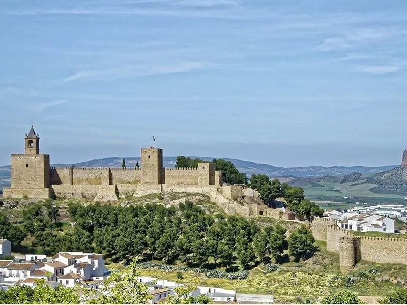
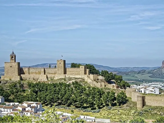
Antequera Town
From the 16th century, Antequera has been known as ‘The heart of Andalucia’. This ancient town, strategically placed to control the fertile valley watered by the dozens of tributaries of the Rio Guadalhorce, has been at the crossroads of Andalucia for over 5000 years.
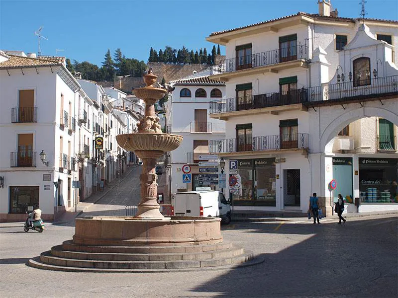
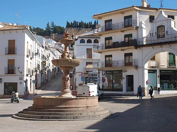
Antequera is situated on the natural crossroads of the routes between Malaga and Cordoba and Granada and Seville. Although the first inhabitants were probably more interested in the view from one of the small rounded hills that surround Antequera.
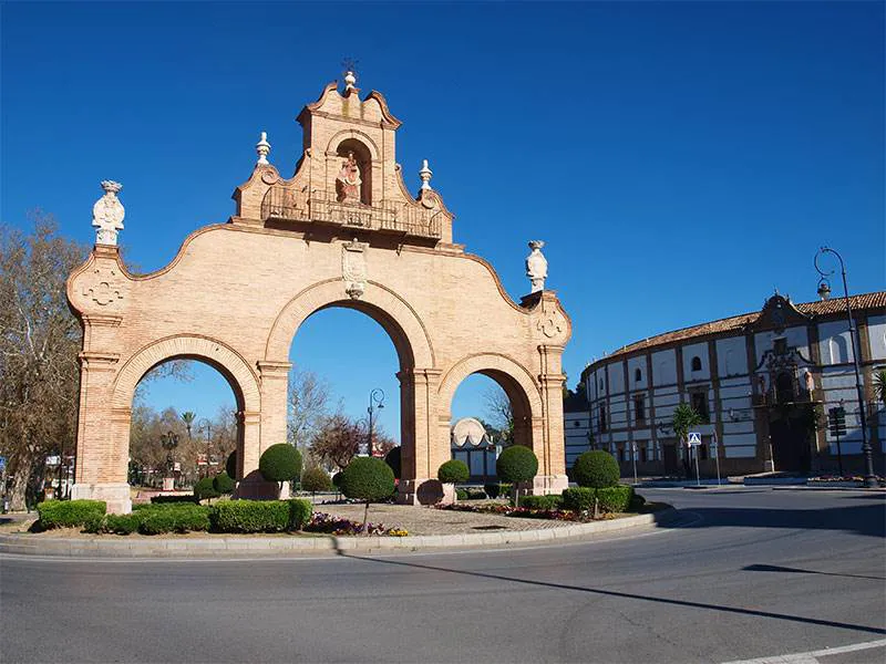
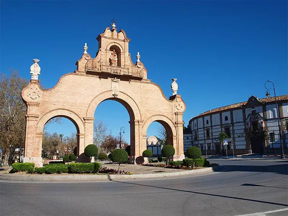
Puerta de Estepa
From the top of Cerro Marimacho, a large circular mound a couple of hundred metres east of the Menga and Viera dolmens, you can see, on the horizon, another hill, La Peña de Los Enamorados (The Lovers Rock). La Peña resembles a human head in repose and must have had some mystical meaning to the Neolithic mind. Enough that they diverted from the norm by aligning the entrance passageway to the dolmen Menga with La Peña rather than just north of east where the midsummer sun rises. Having said that the mindset of Neolithic Antequerians must have been somewhat different from the norm as well, the entrance capstone on the Menga dolmen weighs some 180 tons. It was chipped out of a rock face in a quarry some kilometres away using stone hammers, bone and wood trowels, wooden wedges, fire and water, and then dragged on wooden rollers to the site and placed on top of the massive orthostats that comprise the stone uprights. Then they went and did the same thing five times more.
So what, I hear you say, the Egyptians were doing something similar with the pyramids. And so they were, 500 years later. The largest stone used in the Egyptian pyramids weighs a mere 80 tons. Mind you the Egyptians did have to transport it further, from Aswan to the pyramid site is about 800 kilometres.
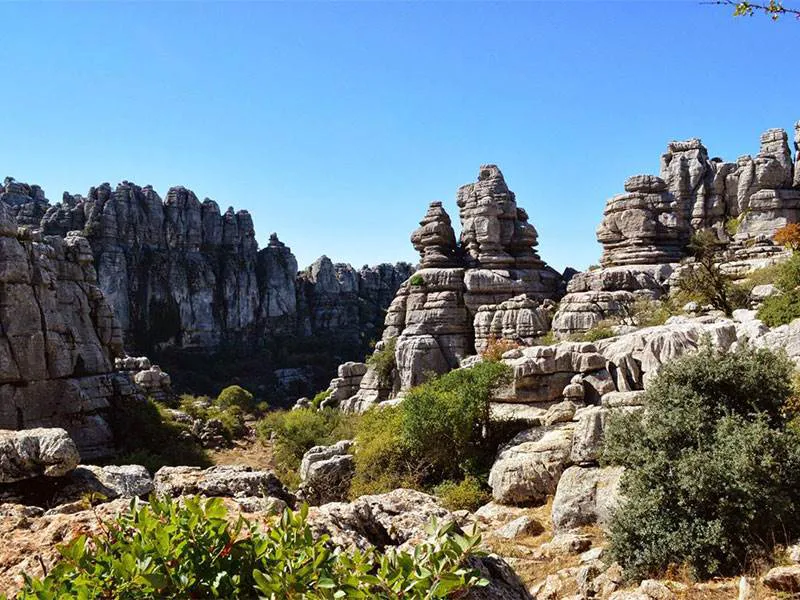
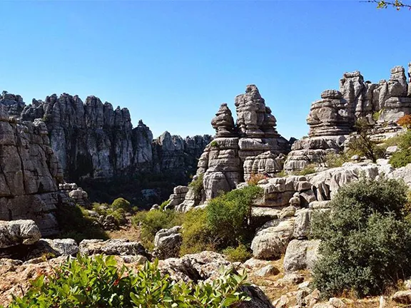
El Torcal
Straying from the norm again, the tholoi El Romeral, rather than face the rising sun at the summer solstice, faces the sun at sunset during the winter solstice, a few degrees south of west. El Romeral has its entrance aligned with another prominent hill, although that may be an accident.
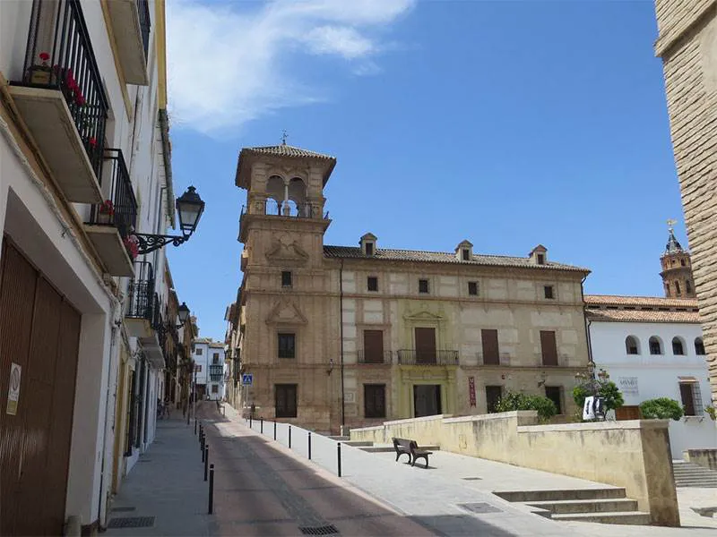
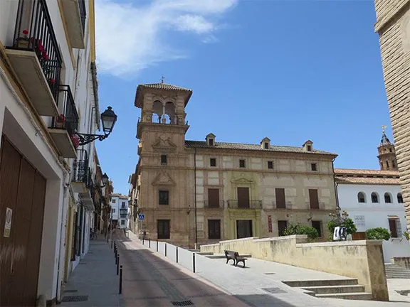
Museum of the City of Antequera
There is now an interpretation centre near the two dolmens Viera and Menga and the surrounding land has been planted with the trees, shrubs and herbs that grew in the period the dolmens were being used. The later megalithic tomb, El Romeral, is a couple of kilometres away at the back of an industrial estate.
In 2016, the dolmens of Antequerra were accepted onto the UNESCO World Heritage Site list.
Soon after the tholos at El Romeral was completed, about 1800 BC, the Neolithic communities in the western part of what is now Andalucia, coalesced into a tribe, now called the Tartessians. Antequerra was on the eastern edge of their territory with the Iberians to the east.
The Tartessians were in a privileged position, occupying the fertile ground, with mineral reserves in the Sierra Morena and with access to both the Mediterranean Sea and the Atlantic Ocean. They became the southernmost part of a trading network that extended from Britain, through northern France, and down through Portugal. Since about 2500 BC the people in this area also had communications with north Africa. Following the arrival of the Phoenicians and later the Carthaginians, the, by now firmly established Tartessian tribe, extended their trading links to the far eastern parts of the Mediterranean sea. Agricultural produce, olives, oil, wine and grain were collected at Anticaria and transported south to the port of Malaka. Sometime after 500 BC, the Tartessian civilisation collapsed and the survivors became known as the Turdetani.
The Turdetani were dispersed through the same territory as the Tartessians and retained some of the ‘orientalising’ features introduced by the Phoenicians and Carthaginians, although international trade seems to have dropped off.
By the time the Romans arrived there was a Turdetani community farming the valley of the Rio Guadalhorce. They had retained enough of the eastern ways that the Romans considered them the most civilised tribe in Iberia. The Romans named the settlement Antikaria and were quick to recognise the value of the territory. They built a fortress on the hill on which today’s Alcazaba stands.
In the Antikaria area, the pagan Siling Vandals replaced the Romans and they, in turn, were replaced by the Christian Visigoths. The Visigoths did not integrate well with the local population who tended to leave the towns and settle in the countryside. However, trade, albeit at a lesser level, did continue.
The Moors arrived in 711 AD. They knew the town as Medina Antaquira. The town, once again, became a central point for trade with its products being shipped to the Middle East and Africa across the burgeoning Islamic Caliphate. In the 13th century, during the reconquest, Medina Antaquira found itself on the northern borders of the Nazrid kingdom of Granada. It is from this period that the fortress, or Alcazaba, was built. For 200 years Medina Antaquira experienced repeated attacks from Christian forces. It was finally conquered in 1410 by Prince Ferdinand of Aragon and the fortress became a base for further attacks on the diminishing Al Andalus, until the surrender of Granada in 1492.
The Moorish fortress covers an incredible 62, 000 sq metres. Visitors approach it up the stepped Cuesta de San Judas and then through an impressive archway, the Arco de los Gigantes. The arch was built in 1595 in honour of Philip II and supported gigantic sculptures of Hercules. Many of the stones used in its construction were from the Roman fortress and you can still see Latin inscriptions on some of them.
The fortress contains two towers, the Homage Tower, considered the second-largest keep in al-Andalus after the Comares Tower in the Alhambra, and the White Tower, Torre Blanca. The keep and the tower are connected by a line of walls. The bell tower on top of the Homage Tower was added in 1582 and houses the largest bell in the town. In its day the castle was considered impregnable.
The Alcazaba provides the best views in town. From its walls, you will see 12 convents, 24 churches and over a dozen palaces built in the Renaissance or Baroque styles between the 15th and 18th centuries. Following the reconquest of Antequera, in 1410, the Christians systematically destroyed almost everything from any previous period, hence the relatively new look to the town. The nobility, made rich on the trade of and through the area, competed to build the finest residences and they also put money into the church. It is from this period that the fraternities date. Fraternities are religious bodies that also have great political power locally. Membership is exclusive and passed down from father to son. During the annual religious processions, the fraternities parade through the streets wearing Klu Klux Klan type headgear and carrying huge silver and gold crosses.
The history of Antequera covers over 5000 years and is well illustrated in the Museum. The museum has been refurbished and restocked with exhibits taking you from the pre Neolithic age through the metal ages including the period of megalithic building, into the Roman period, then the Visigoths, Moors and finally the period after the re-conquest. Taking pride of place in the museum is a statue discovered by a farmer, the ‘Ephebe of Antequera’. It is considered to be one of the finest sculptures from the Roman period found in Spain. You pay 3 Euros to gain entry, (unusual for Spain, museums are normally free) but it is worth it.
Approaching from the north, east or west, a visitor’s first impression of the town is often the monumental arch on a traffic island surrounded by the Calle Constitucion. This is the Puerta de Estepa. Across the road is the Plaza de Toros, the bullring. Within its walls is the Restaurante Plaza de Toros, one of the finest restaurants in Antequera. Southeast of the Puerto de Estepa is the Calle Alameda de Andalucia. This road splits with the right-hand fork, Calle Infante Don Fernando (he’s the guy that led the conquering army in 1410) taking you to the heart of the town at the foot of the fortress. With shops, restaurants and bars it is a favourite promenade.
Just outside Antequera is the mountain of Torcal, a huge block of limestone that protrudes from the surrounding plain. The karstic formations on the mountain are some of the most interesting in Andalucia. There are two walks on El Torcal, one short the other longer, and a visitors centre and snack bar. Apart from the rock formations, El Torcal is a haven for many unusual flowering plants and orchids.