This route is suitable for city or mountain bikes taking you through some of the prettiest white villages in Andalucia
By Nick Nutter | Updated 29 Aug 2022 | Málaga | Cycling |
Login to add to YOUR Favourites or Read Later
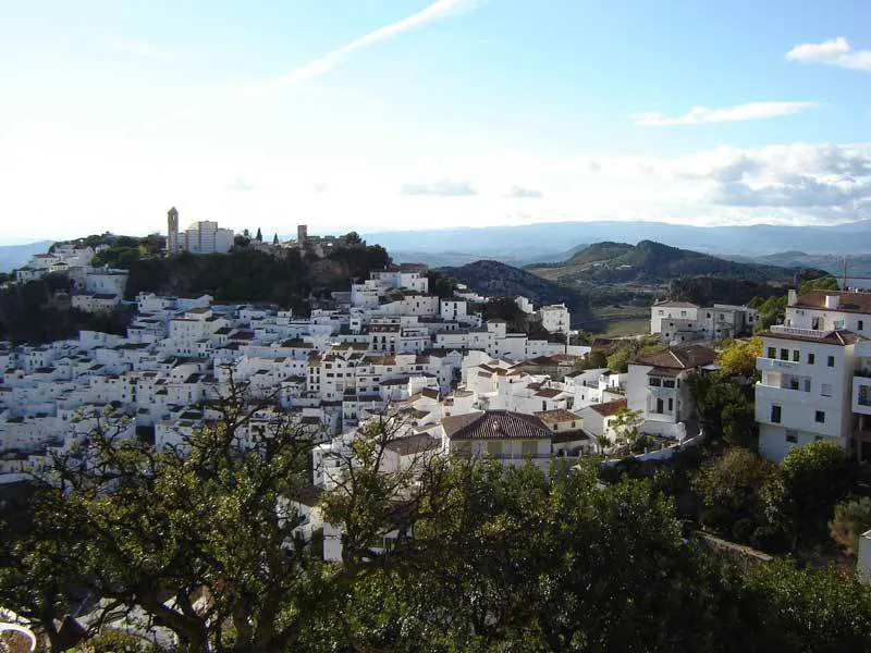
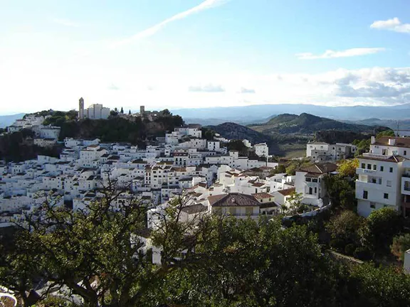
Casares
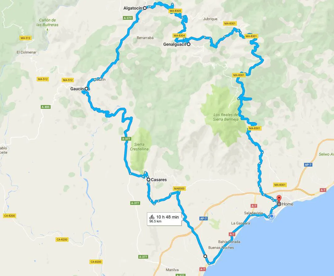
This route is suitable for city or mountain bikes. It is a circular route of 96 kilometres that takes you over 20 kilometres inland where you can appreciate the beauty of the Andalucian countryside and some of its white villages far from the crowded Costa.
Start on Av. Luis Braille in Estepona port. At the roundabout with Supercor opposite, turn left. At the roundabout to the port entrance (with a distinctive clock on it) go straight ahead and join the blue cycle track, just follow the white arrows painted on the track. Generally cyclists have right of way when they are on the track. Traffic lights allow you to cross the main road and side streets, on the cycle track, in safety. Turn left to enjoy the flower beds as the track takes you to the west end of the town.
Here you join the main road at a roundabout on the A7. Turn left on the A7 in the direction of Algeciras and travel for 6.6km. You will arrive at a roundabout at Casares Costa. On the coast on your left is the Torre de la Sal. Built during the Moorish occupation to warn the local residents of raids by Barbary pirates the torre has been refurbished and is worth a visit. Return to the roundabout and take the road signposted Casares inland, the MA8300.
The road takes you steadily uphill through the foothills of the Sierra Bermeja. On your right is a broad valley with magnificent views of the mountain Los Reales and behind you the Mediterranean Sea. 13.7 kilometres later you will arrive at the white village of Casares.
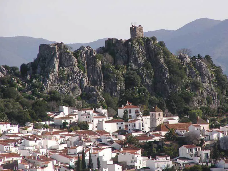
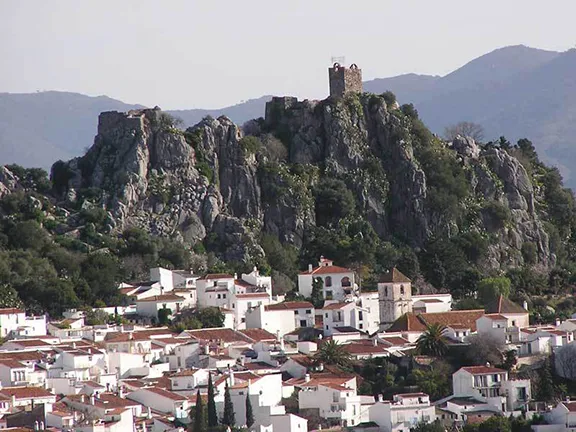
Gaucin
Dominating the village on the crest of the rocky bastion is the 16th century church of Iglesia de la Encarnacion that is probably built on the foundations of a mosque used by the original occupiers who, following the invasion in 711, were North African Berbers rather than the more prevalent Arabs. They were a peaceable people who integrated with the existing Hispano-Visigothic population who pragmatically agreed to pay an annual ‘tribute’ to the settlers and carry on as if nothing had changed. The previously unnamed rocky outcrop became an important administrative centre and soon had a fortification, an Alcazar, with the mosque inside. Not much of the Alcazar survives apart from the foundations and some parts of wall up to about 1 metre high. The walls you see today were built in the 16th century on top of the by then ruined original and they in turn, along with the church, were severally damaged during the 20th century Civil War.
The village below is well worth exploring. Bicycles are an ideal form of transport through the narrow streets of this Mediaeval village. Make sure you stop for some refreshment at the busy square.
Leaving Casares rejoin the MA8300 and turn left. In 2kms you reach a junction where you turn right signposted Gaucin. The high limestone crag is on your right. Here griffon vultures nest. You are likely to see them soaring on the thermals. After 8kms the road drops into the green valley of the Rio Genal and crosses the river. A series of hairpin bends then takes you the remaining 8.9 kms up to the white village of Gaucin at an elevation of 626 metres above sea level, perched on a rocky buttress overlooking the Rio Guadiaro. A ‘T’ junction allows you to turn right into the village itself.
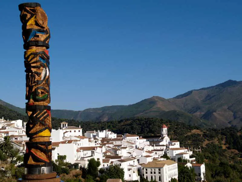
Genalgaucil Totem Pole
There are a number of bars, cafes and restaurants that will welcome you. They are hidden away amongst the white streets. You can also climb the hill following the signs for the Castillo de Aquila and you will arrive at the 17th century Santo Nino Hermitage. As you entered the hermitage gardens you will have gone through a gate in the castle walls. These were the Moorish walls and you can still see the small lookout posts built into them. The hermitage itself was originally the barracks for the troops and the gunpowder store was in one of the turrets.
Return to the ‘T’ junction at the entrance to the village and go straight ahead a few metres to join the mountain road. Turn right, signposted Ronda, on the A369. You stay on this road for 9.2km until you reach the village of Algatocin where you turn right onto the MA8305 signposted Jubrique. The road descends into the valley of the Rio Genal passing through groves of olive and cork oak. The occasional chestnut tree provides fruit that you can forage in the autumn.
After 9.2km bear right, onto the MA8304 signposted Genalguacil. After another 11kms you will arrive at Genalguacil.
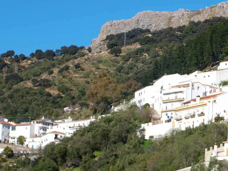
Genalgaucil View
In 2016 there are more than 150 works of art of which 80 are on display in the streets. There are sculptures, tiled displays, even a papier mache man waiting for a bus in the local bus shelter. The whole village becomes involved in what has become an international event lasting two weeks. Artists from all over the world descend on Guenalguacil, all having to negotiate the unpaved road that enters the village. This is due to be surfaced in 2016/17.
This pretty white village, sat in the woods on the side of the Rio Genal valley is unique in Spain and probably the world. In the early years of the 21st century the village became de-populated. It still only has about 600 inhabitants. The then mayor decided to rejuvenate his village by allowing artists of all genres to live there free on condition they spent some time giving free lessons to the population. He took things one step further by allowing suitable works of art to be displayed in the streets and arranged a bi annual artists convention.
Penas Blancas
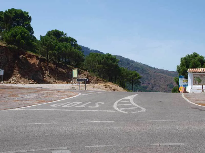
Leave Genalguacil on the MA8301 signposted Estepona. The road climbs for 15 kms through cork, olive and fir woods until you reach the Penas Blancas pass with Los Reales on your right. Straight on here and the road descends the last 17kms into Estepona town.
Map of Route