Cycling to the top of Los Reales is suitable for mountain bikes
By Nick Nutter | Updated 29 Aug 2022 | Málaga | Cycling |
Login to add to YOUR Favourites or Read Later
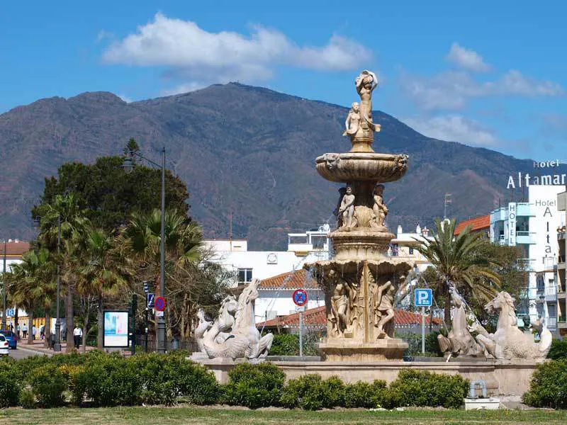
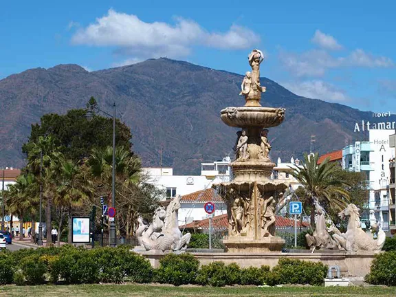
Los Reales behind Estepona
This route is suitable for mountain bikes. It takes you from Estepona Port at sea level to the top of Los Reales, the mountain behind Estepona, to an elevation of 1,433 metres. It is a there and back route with just over 20 kilometres of almost constant uphill work but the return is all downhill.
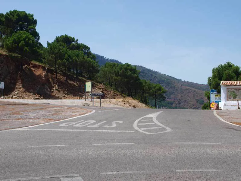
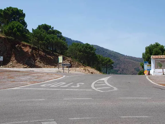
Penas Blancas
Start on Av. Luis Braille in Estepona port. At the roundabout with Supercor opposite, turn left. At the roundabout to the port entrance (with a distinctive clock on it) go straight ahead and join the blue cycle track. Turn right and follow the cycle track until it joins the paseo. Ride down the paseo, past the large roundabout with the fountain.
Continue on the paseo, past the Correos and one block of buildings until the paseo is once again alongside the road. You will arrive at a roundabout with an underground car park entrance on your left.
Turn left at the roundabout, heading up a gentle hill on Avenida Andalucia. After 600 metres you will come to a set of traffic lights with a Mercadona supermarket on the other side of the lights and a road on the right signposted Genalguacil.
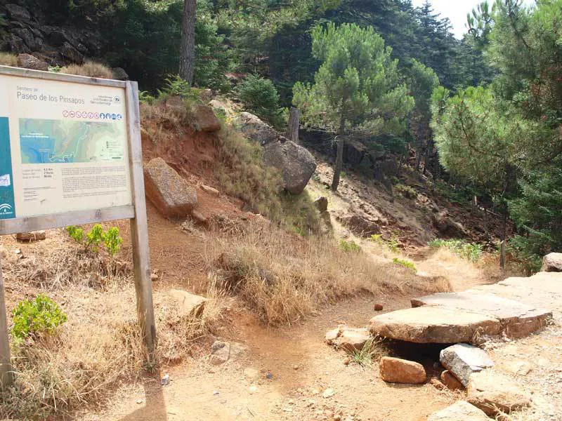
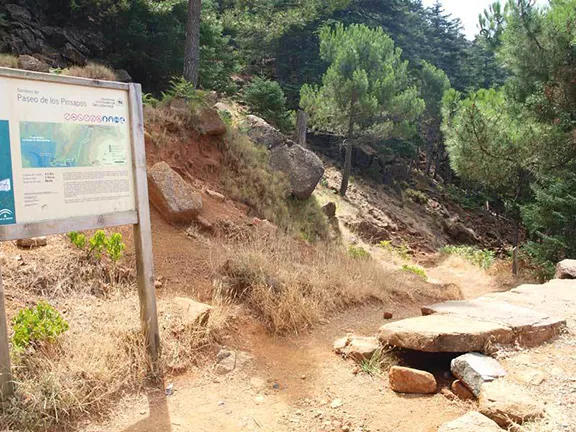
Paseo de los Pinsapos
Turn right here and stay on this road as it ascends into the foothills of Los Reales that you can see clearly ahead of you.
The road starts to hairpin as you ascend the eastern flank of the mountain and the foliage turns from fairly open maquis to pine forest with occasional stands of cork oak, juniper bushes and yew trees. Keep your eyes open for the wild life. Often timid near cars you are in a much better position to see mountain goats, roe deer and the Egyptian mongoose. The species of roe deer is unique to the Sierras of Andalucia having adapted to a drier environment than its cousins elsewhere. In the skies you may well see Griffon vultures, booted eagles, sparrowhawks, eagles and long eared owls.
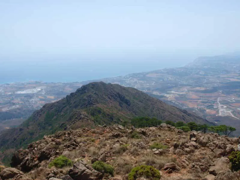
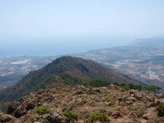
View from Mirador
You will arrive at a crossroads, the ‘Peñas Blancas’ pass. Turn left onto a track signposted ‘Los Reales’ and follow this until you arrive at a the Refugio Salvador Guerrero. At weekends you can obtain drinks and snacks. During the winter there is a log fire to warm you.
You can continue past the refugio for 200 metres after which the track becomes a rough foot path for another 200 metres until you reach a Mirador with spectacular views along the coast in both directions with Estepona far beneath you. Gibraltar and Africa are both easily visible on a clear day.
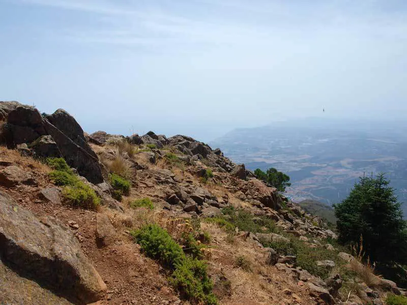
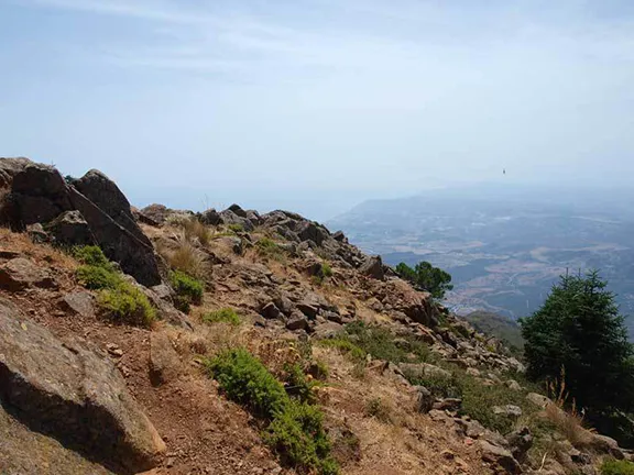
View from the Top of Los Reales
Returning past the refugio there is a path on your left after 100 metres. This takes you the remaining few hundred metres to the summit at 1,450 metres. There is a foot path round the summit that allows you to see the vistas inland as well as of the coast.
For those interested, about 1.5 kms back from the refugio there is a very sharp hairpin bend. On the left is a rough track that is called the’Paseo de los Pinsapos’.This track undulates through pine forest made up of the abes pinaspo boiss, a tree that only grows on the side of Los Reales and one other location near Ronda. After about 600 metres you arrive at a small plantation with information about these trees.