Ruta La Mina Macenas. A walk from the south end of Mojacar Playa to Castillo de Macenas, Torre Pirulico and Piedra de Nazareno, Almeria, Andalucia
By Nick Nutter | Updated 5 Mar 2022 | Almería | Walking |
Login to add to YOUR Favourites ![]() or Read Later
or Read Later
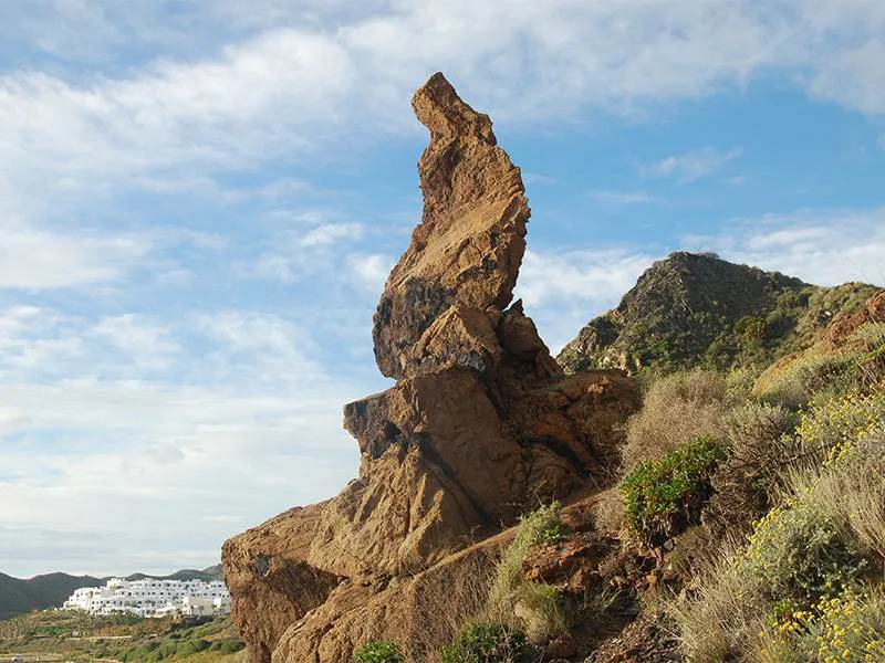

Piedra de Nazareno
This walk is 10 kilometres in length. It takes you along the beaches and the cliffs, south of Mojacar. The views are spectacular. On the way, you will see an 18th-century castle and a 12th-century torre, an unusual rock sculpture and evidence of mining activity. When you reach the furthest point on the walk you can return the same way, so completing a there and back walk, or you can climb up to the ridge and via two miradors, complete a loop.
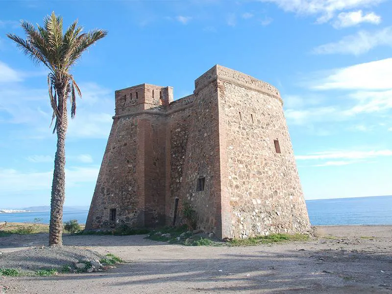

Castillo de Macenas
The walk starts in the car park at the southern end of Playa Puerto Marina at Mojacar Playa. The track takes you south through some scrubby olive trees for 50 metres until you emerge on a path at the top of the beach.

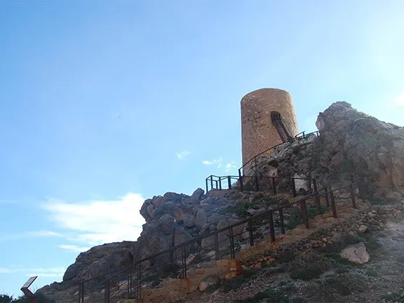
Torre del Piruleco
The path ascends the sea cliff, the views are stupendous. After about 2 kilometres the path descends to beach level at a curious rock formation known locally as Piedra del Nazareno. According to the legend, a group of miners were camped on the beach having lunch when the rock fell from the cliffs above. Miraculously it came to a precipitous stop just before it fell onto the miners. The name, Nazareno, comes from the resemblance of the rock to the robe, cape and cone-shaped hats costume worn by penitents (Nazarenos) in religious processions.
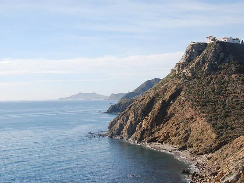

View north from Torre Piruleco
Continuing the walk, you soon arrive at Castillo de Macenas. This coastal defence installation was built in the first half of the 18th century. It is horseshoe-shaped, with the rounded part facing the sea. Two 24 pounder cannon were mounted on the roof. The castle is in a remarkably good state of preservation. 200 metres south of the castle, Chiringuito Macenas is an inviting stop.
Furthest point of the walk
Continuing on at beach level for another half kilometre brings you to a second, much older, fortification. This is the 12th century Torre del Pirulico. You can, if you wish, climb the iron steps to the entry door, enter the tower and ascend to the roof via a spiral staircase. Take your camera. The tower was built in that position to take advantage of the views north and south along the coast.

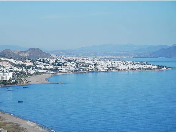
Mojacar Playa from Mirador
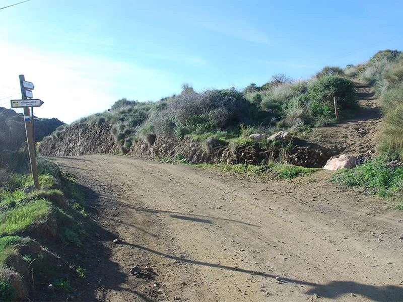
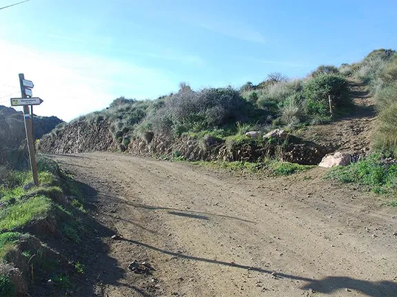
Continue south along the path. In about half a kilometre a side track leads off to the left to a villa. A signpost for an Observatorio points to the right up a rough path. This is the furthest point of the walk.
For those wanting a little more strenuous exercise, take the signposted path. It takes you, fairly steeply, to the top of the ridge behind the beach and a bird hide with picnic tables. A good place to have a coffee and admire the extensive views.
Continue, now heading north, along the path on the top of the ridge. You soon arrive at a second mirador. From there the path descends to beach level and you re-join the outward path at Chiringuito Macenas.
© Visit-Andalucia 2015 - 2024
 The Goldrush Walk
 Las Menas Walk
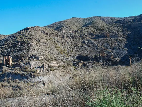 In Search of Jarosite