The discovery of gold at Rodalquilar in 1883 led to a goldrush that attracted miners from all over Europe and mining companies from Spain, Germany, Britain and Holland.
By Nick Nutter | Updated 11 Apr 2023 | Almería | Walking |
Login to add to YOUR Favourites or Read Later
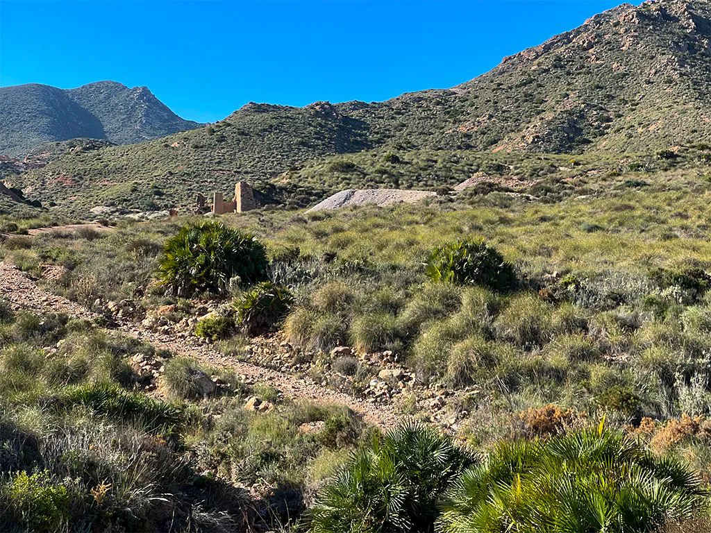
There are two walks, one 4.5 kilometres long and the other 11 kilometres long. Both are graded medium walks and take you through the caldera rim, north of the mining village of Rodalquilar, through the mining area. The shorter walk takes you up a valley containing two dozen adits, some of which are vertical pits so you are advised to stick to the well-marked path and keep an eye on children and dogs. The longer walk loops round behind the Cerro del Cinto mountain and rejoins the shorter walk after 8 kilometres. This walk starts and ends in the carpark between the Botanical Gardens and the Volcano museum.
Boots, windproof jacket, hat, water and suncream.
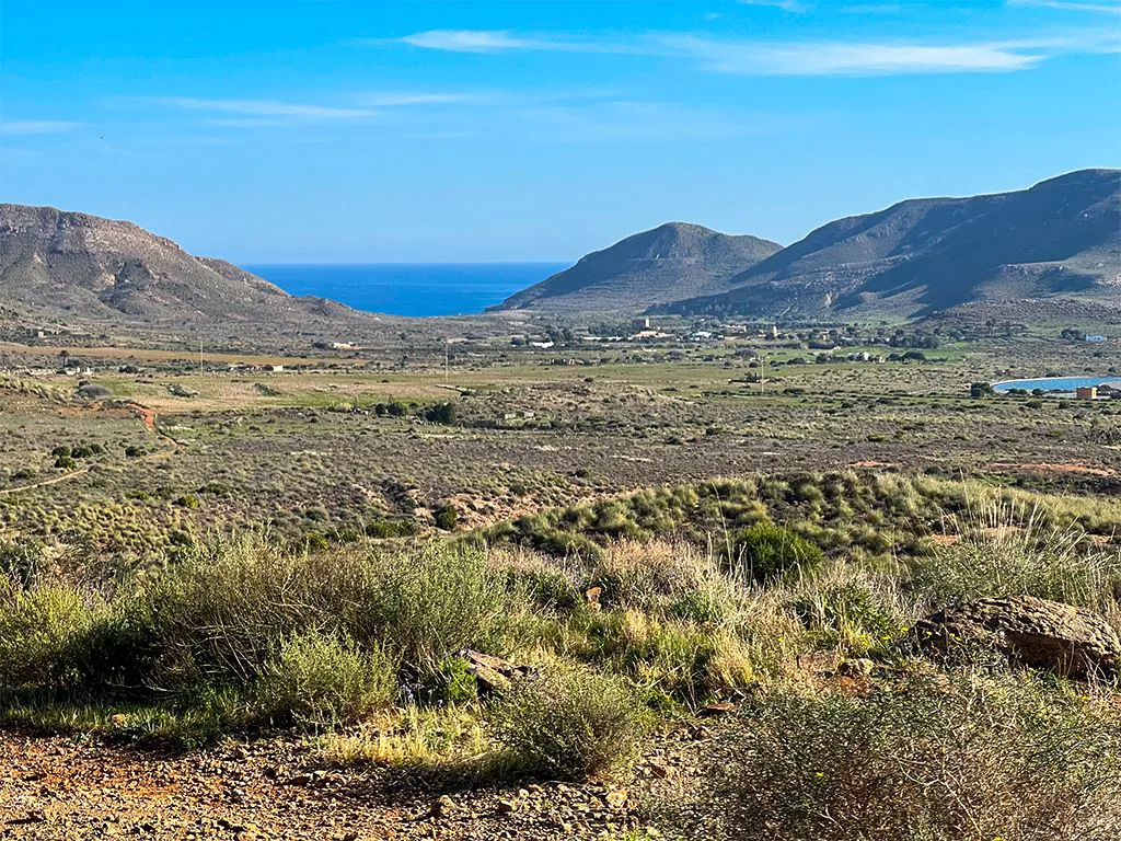
Leave from the northern end of the carpark. A pleasant fairly flat walk takes you beneath the mine workings north of the village of Rodalquilar, traversing in an easterly direction across the hillside. The views on this stretch are spectacular, across the caldera and through gaps in the caldera rim to the open sea.
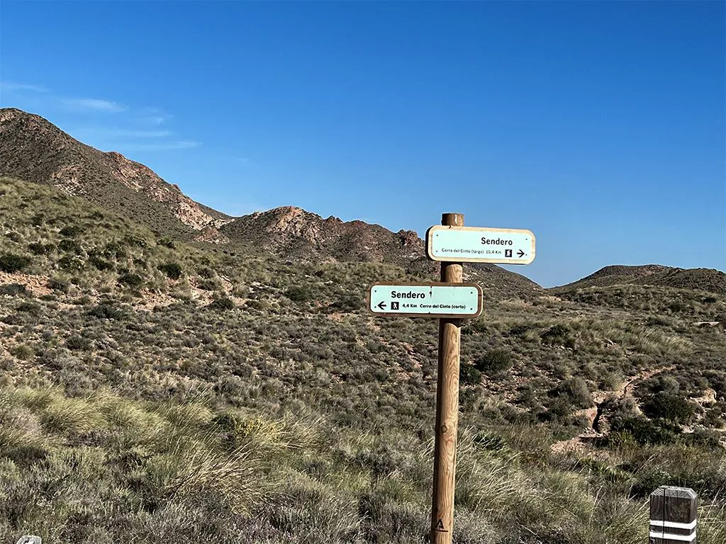
After just short of 1 kilometre you reach a ‘T’ junction, the path to your right takes you on to the extended walk. For the shorter walk turn left.
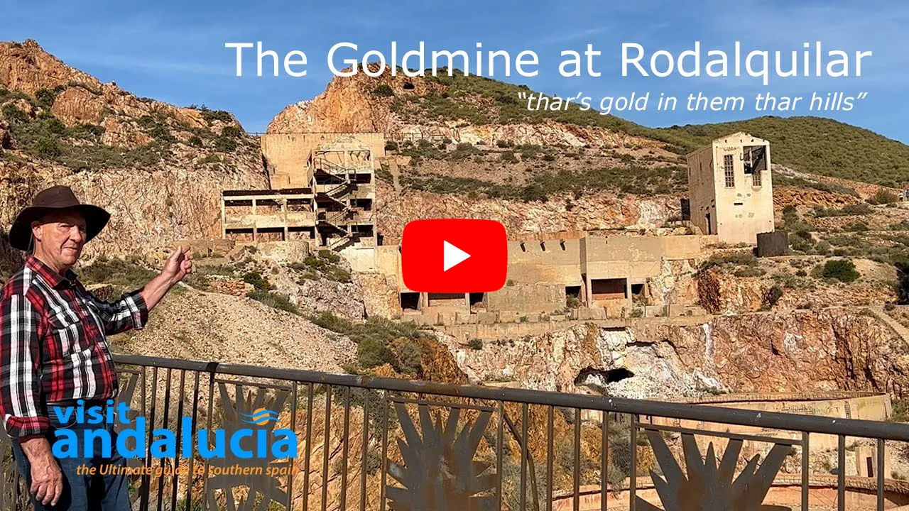
Video By: Julie Evans
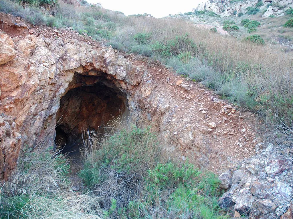
You are now following a normally dry water course and soon reach the first of the mine buildings to the left of the rough track. The track crosses and re-crosses the rambla until, after 500 metres you will see a well-defined track leading off to the right (north). Bear left staying on the track above the rambla that is now to your left.
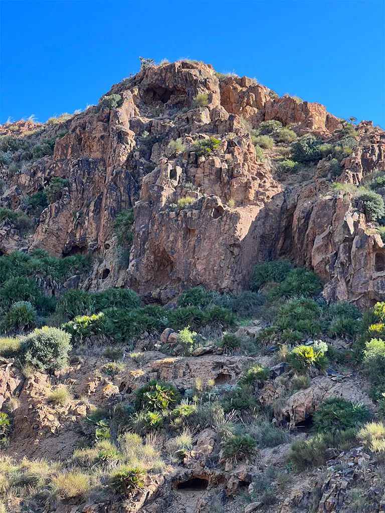
In a further 300 metres another, a less well defined track, heads off to the north and takes you in 400 metres to Tollo de la Felipa, a large gash in the side of Cerro del Cinto and the site of one of the larger mines. Return to the main path and continue in a southwest direction for another kilometre up a gentle slope.
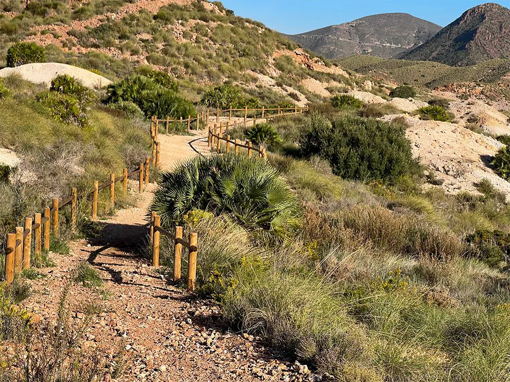
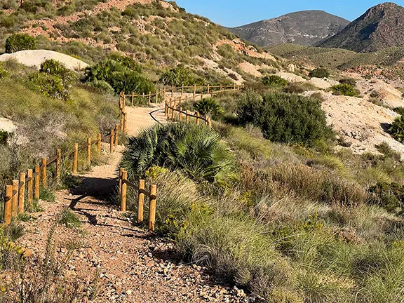
The whole of this valley is dotted with adits and spoil heaps, the surfaces of which is almost white after over a century of leaching during which time the surface minerals, mainly alum (aluminium sulphate) and some lead, have oxidised. Beneath the surface of the spoil heaps you will find igneous rocks impregnated with iron, lead and copper minerals. Dwarf fan palms and low maquis provides cover for grouse that shoot out of the undergrowth as you approach. During winter and spring the herbs, rosemary, thyme and gorse are a blaze of colour, blues and yellows, attracting thousands of bees that provide a background drone as you walk up the valley.
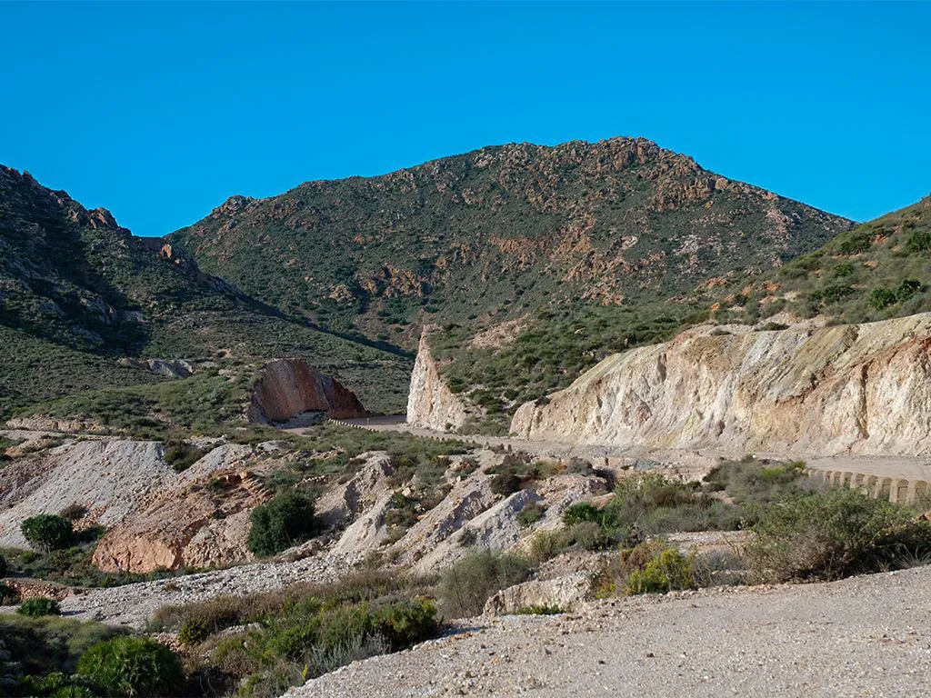
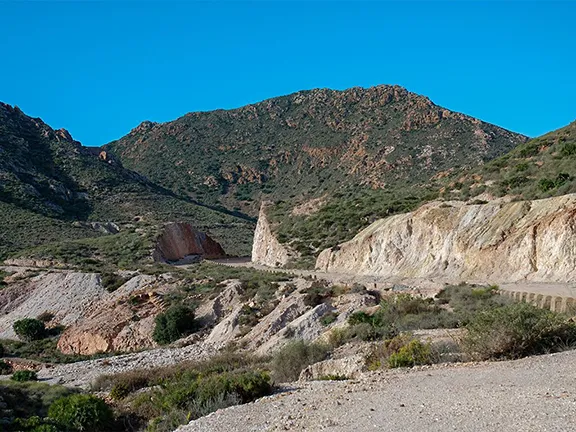
A short uphill section takes you onto a broad track. The longer walk re-joins the shorter at this point. This track was built in the early 20th century to allow lorries to travel between the mines.
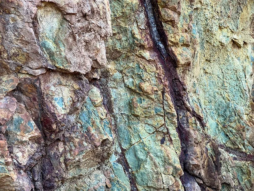
To the right on this track is a second diversion of about 1 kilometre from the short walk. You will pass through a couple of cuttings and then see, to your right, the oldest mine in this area, named Antigua Minas de Oro. It is in the spoil heaps here that you may be lucky in your search for gold bearing ore. There are some mineral veins exposed in the cuttings that are consistently being eroded so they are also worth examining.
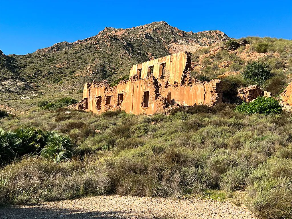
Mina de Abellan (Explotaciones y Minas Auriferas de Rodalquilar)
Return to the junction and continue on the broad track. After about 800 metres the track forks. The left-hand fork circumnavigates a small hill and adds a hundred metres to the walk. It is well worth it for the panoramic views over the southeastern side of Cerro del Cinto across the valley.
Continue on the broad track that now takes you through the main mine workings above the village of Rodalquilar and down to the Volcano Museum past the circular filtration tanks and a few of the now ruined miner’s houses. You are now back to the start of the walks.
Please note, it is illegal to take minerals from the area.