Museo Vivo de Al-Andalus demonstrates how people of three cultures, Christianity, Muslim and Judaism lived peacefully side by side during the 10th Century
By Nick Nutter | Updated 15 Mar 2022 | Córdoba | Museums |
Login to add to YOUR Favourites ![]() or Read Later
or Read Later

The Map of the Arab World
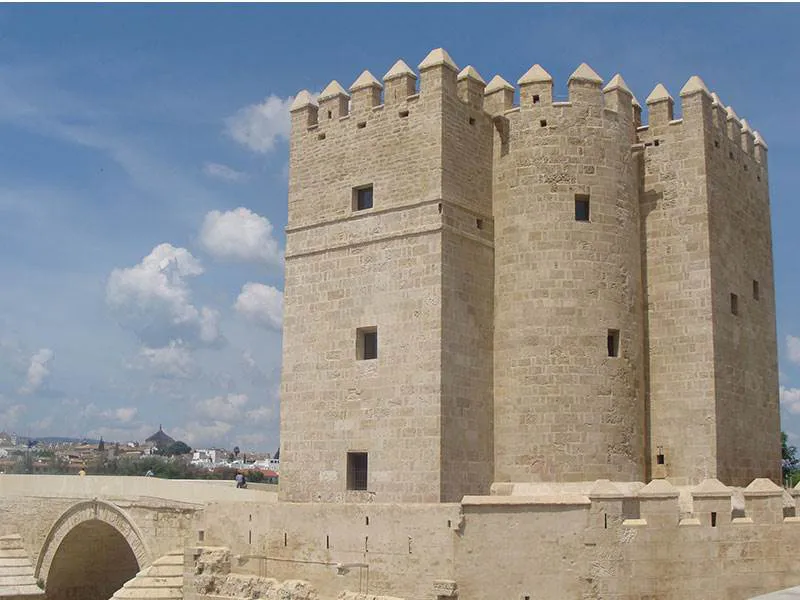
The museum housed in the Torre de Calahorra, the 14th Century gatehouse and tower situated at the southern end of the Punta Romana, Roman bridge, is probably unique. It demonstrates through the use of video and audio how people of three cultures, Christianity, Muslim and Judaism lived peacefully side by side during the 10th Century’.
It is often forgotten that the Arabs were superb seamen. It was probably the Arabs that invented the settee sail on craft in the Red Sea and the design, very similar to the lateen sail of a modern felucca, was copied by other seafarers in Egypt, Iraq and elsewhere. Whilst the Phoenicians were active in the Mediterranean the Arabs were quietly trading between India, Egypt and the East Coast of Africa using the monsoon winds to go out and back taking a full year for the round trip. These voyages included long stretches in open waters out of sight of land and, more crucially, travel north and south which meant changes in latitude. In the Mediterranean open water journeys are basically east to west. The museum has a copy of a map that shows the early Arab world.
The Arabs already had massive experience of navigating north to south, in the featureless deserts of the Middle East and North Africa. They had developed methods to obtain their latitude, Arabs measured the altitude above the horizon to a known star, and then deduced from this the altitude of the Pole Star, (since the Pole Star was the one star that did not move in the sky). In some cases ancient navigators measured directly the altitude of the Pole Star. This was the simplest method, and was known as the science of qiyas. The easiest method was to use the width of a finger. When held at arm’s length, the width of four fingers was considered to measure 4 isba’. In a 360 degree circle there were 224 isba’. It was considered that a day’s sailing due north would raise the Pole Star 1 isba’ from the horizon.
Since not all Arab mariners could learn the science of qiyas, and to introduce standardization, not everybody had fingers of the same width, navigational instruments had to be devised that could tell a mariner on which latitude he was for every day of the year. Some beautiful examples in bronze are displayed in the museum.
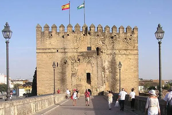
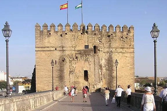
The Museum in a Castle
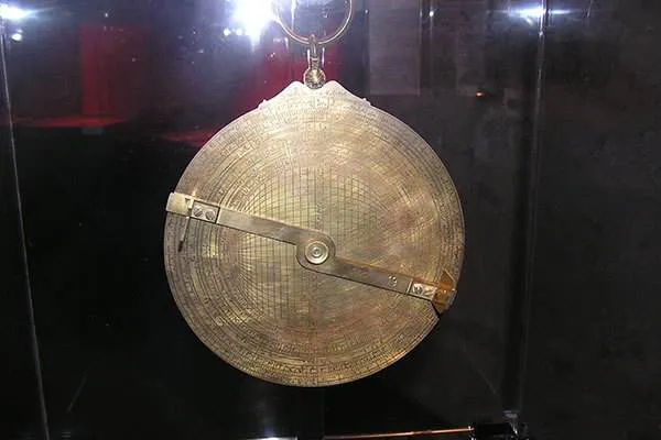

Arab Astrolobe
© Visit-Andalucia 2015 - 2024
/cordoba-alcazar.webp) Things to Do in Cordoba
Things to Do in Cordoba Cordoba 1-Day Itinerary
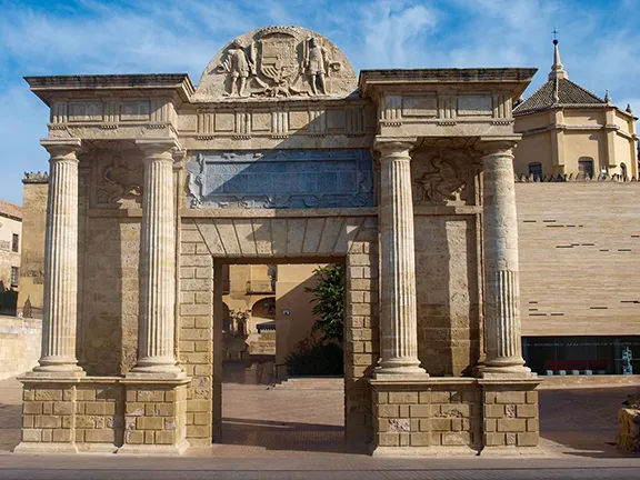 Historical Guide to Córdoba City
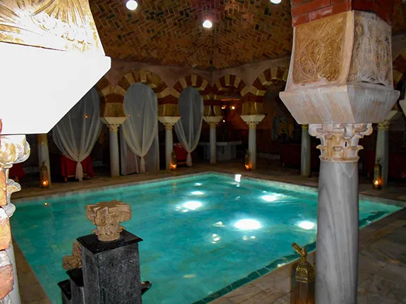 Arab Baths in Cordoba
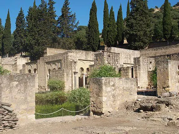 Madinat al-Zahra (Medina Azahara)
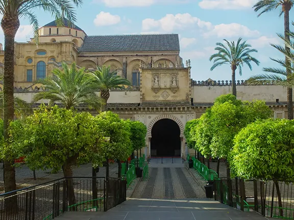 Mosque-Cathedral of Córdoba
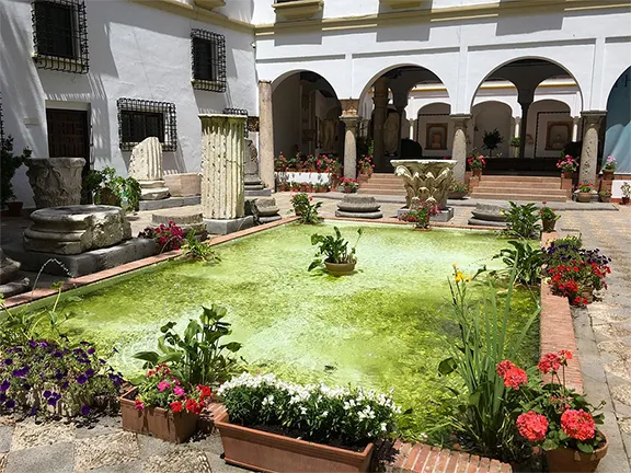 Archaeological Museum of Córdoba