Las Angosturas de Gor is a Copper Age settlement in the valley of the river Gor in Granada province, Andalucia. The site was occupied until Roman times
By Nick Nutter | Updated 18 Mar 2023 | Granada | Walking |
Login to add to YOUR Favourites or Read Later
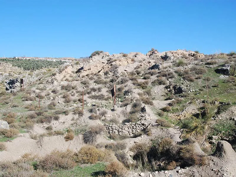
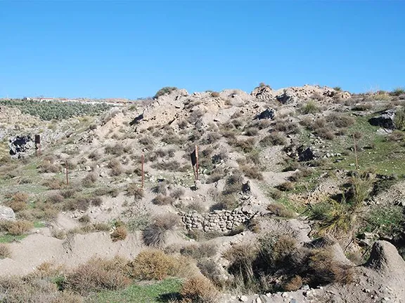
Las Angosturas
On a small hill in the valley of the River Gor, downstream from the town of Gor, not 300 metres from the modern A92 viaduct, is Las Angosturas de Gor, possibly the most important archaeological site in the Gor valley and the one least publicised. The hill is sheer on three sides, the only access being a ridge from the west side of the valley, making it easily defendable and difficult to reach on foot. Fortunately, Pedro, a local olive grower, knew the way.
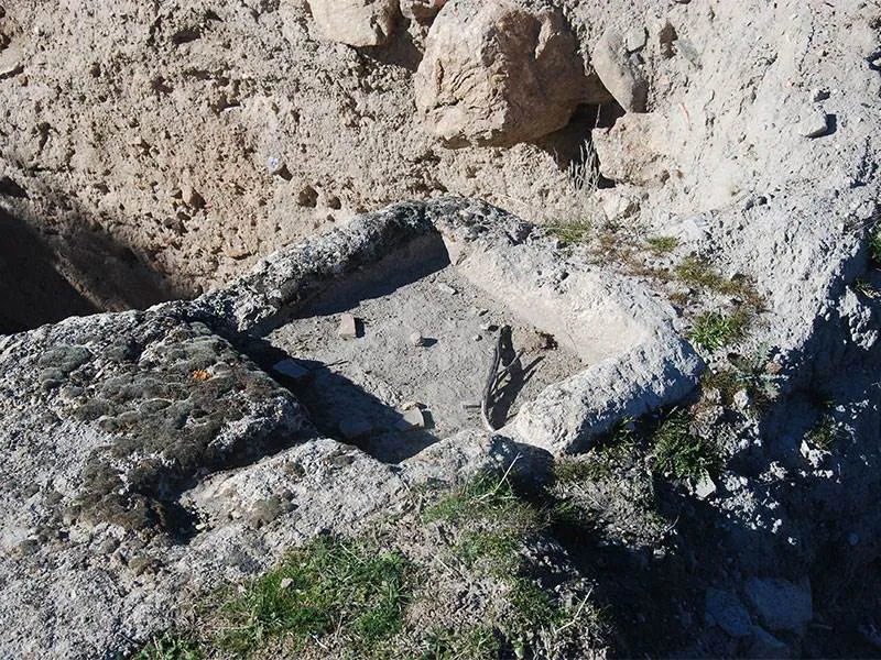
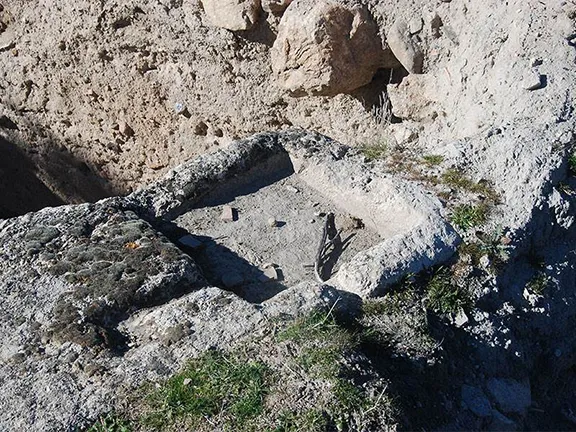
Iberian level
Between 4000 and 3000 BC, the Neolithic people of the Gor valley started to build dolmens to demarcate their territory. Each group of dolmens was associated with a settlement of which eleven have been identified along the 10-kilometre course of the valley of the river Gor. The dolmens were used for burials until at least 2200 BC, and some perhaps until 1500 BC.
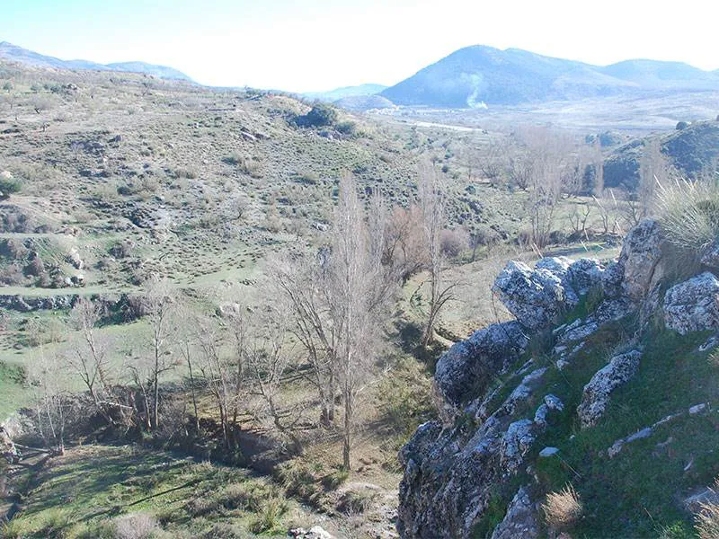
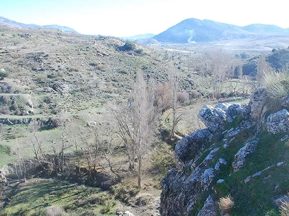
Looking south from summit
Whilst the dolmens are cataloged and well known and have been excavated on a number of occasions, the settlements associated with them have not been as well researched which is one reason Las Angosturas could be so important. The site was excavated during the summers of 1980 to 1983 by the Archaeological Research Service of the Provincial Council of Granada and has remained open and uncovered since. Despite the predations of illegal diggers, weathering and natural vegetation growth over the last forty years, the site is still worth seeing and should be protected for further research due to the second reason Los Angosturas could be so important, the length of time it was occupied.
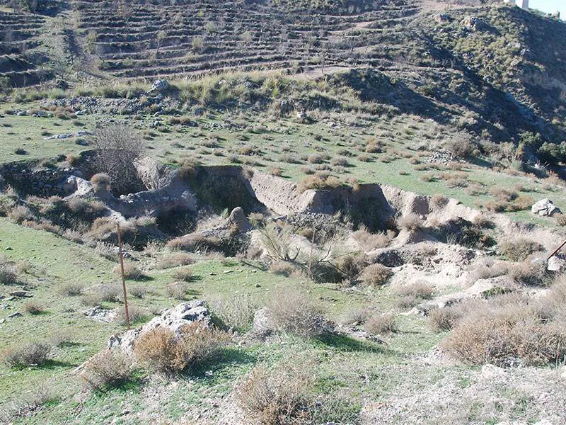
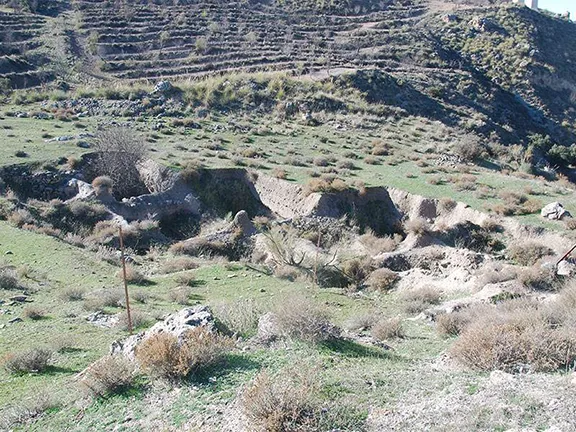
Lower, neolithic excavations
Results from the series of digs in the 1980s indicated that Las Angosturas was occupied from the Neolithic period right through to the Ibero-Roman period, that is from about 3000 BC to 200 BC. The oldest part of the settlement, representing the late Neolithic period, was at the bottom of the summit hill.
Video By: Julie Evans
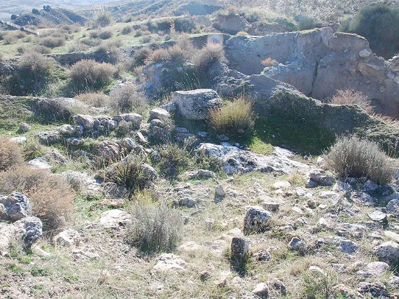
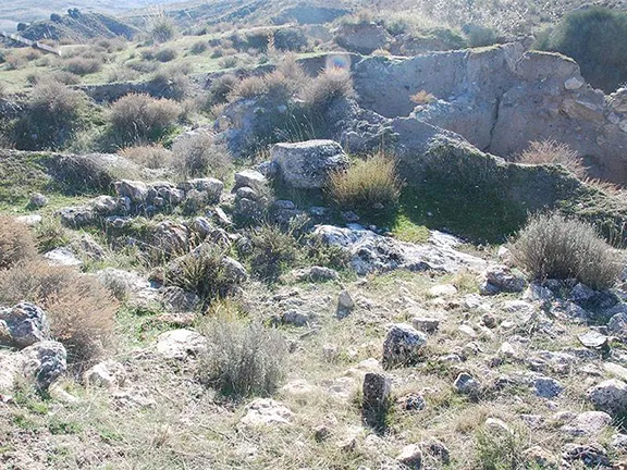
Middle level excavations
The town was protected on its western side by a wall, over 2 metres thick, within which the houses were circular and roofed with branches impregnated with mud.
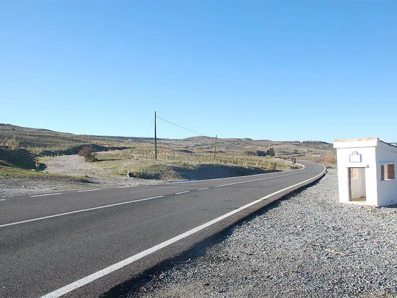
Start of the walk to Las Angosturas
Within the walled enclosure are levels corresponding to the period from about 2350 BC to 1910 BC. Artifacts found here include; semi-spherical and globular vessels, bowls with straight walls, spoons, almond-shaped plates, bone idols (phalanx idols), in polished bone (one of them occulated and one painted) and in stone, flint arrowheads, flint knives, necklace beads of different sizes, shapes and materials (shell, stone, fishbone, etc), punches, spatulas and bone needles, cereals (wheat), remains of copper minerals (azurite and malachite), as well as animal bones, many of them with obvious signs of domestication.
The idols are particularly interesting because the designs on them are very similar to those found at Valencina de la Concepción, near Seville, and further west into Huelva and Portugal, indicating some communication between the two areas. Manufacturing techniques and designs can also be compared to similar idols found at Los Millares and further east.
Within the enclosed area two burials were found: one of an adult, clearly a second burial, because he lacks his skull, inside an enclosure of stones and with a rich trousseau (a large deer antler and numerous vessels), within one of which a child appeared in a fetal position, also accompanied by a cup and two bowls, two rings, a punch and two copper earrings and a necklace of bone, stone and shell beads. The two were buried together. In the lower strata, an earlier burial of a child of about nine months was discovered, with two bowls like trousseau, under the floor of a house.
Later strata revealed fragments of Campaniform (Bell Beaker) vases and in this level, a double burial was found, the corpses of a man and a woman buried in a fetal position facing each other, with some material typical of these burials. The beaker vessels date this layer between 2500 and 2200 BC.
The Iberian and Roman layers above the Campaniform layer contained painted Iberian ceramics, grain mills, rectangular houses and the remains of Greek ceramics from the 4th Century BC. There was also a quantity of fine, glossy, red slip Roman ceramics within the upper layer indicating contact with the Romans after 200 BC.
It is during the ‘archaeological gap’ between 2500 BC and the Iberian period, starting about 1000 BC, that the dolmens downriver were in use. At Los Angosturas there are no immediate signs of any discovered, excavated, dolmens. However, across the valley, on the same level as the settlement on the upper, flat surface of the archaic valley side slip is one mound and one barrow, apparently untouched, that could be burial mounds. From the settlement, the mound bears 120 degrees M and the barrow 125 degrees M. If the mounds do prove to be burial mounds associated with Las Angosturas, their position below the valley rim, on top of the ancient landslip platform is similar to the position chosen by the people of the settlements down the valley.
Las Angosturas could answer many questions about the people of the river Gor valley and their way of life, not only during the short megalithic dolmen period, which seems to be the focus at the moment but also the periods before and after.
A walk to Las Angosturas starts on the GR6102 road about 1 kilometre northwest of Gor at a point where the old railway line, now a Via Verde, crosses the road. Head northwest along the Via Verde for about 2.5 kilometres. Just before a cutting below the new A92 road an obvious path takes you to the right. Follow this path until you meet a wall on your left that leads to a patch of cultivated olive trees. On your right a couple of hundred metres away you should see the rocky buttress that is your destination. Just before the trees is a rough track that you can follow down to the ridge on the west side of Las Angosturas. You will see the excavations made at the lower levels. From there you will have to clamber up the buttress to see the dwellings and later ruins.
A geoparque (geopark or geoparc) is a well-defined territory, home to a valuable natural geological heritage. The most important parts of a geoparque, due to their scientific, aesthetic, or educational value, are called geosites.
In the north of Granada, surrounded by some of the tallest mountains of the Iberian peninsula, what we know today as the Basin of Guadix or the Guadix - Baza depression or basin was, for 5 million years, a lake with no outlet to the sea. Sediments, brought down by the mountain streams, were deposited in the basin in horizontal sheets. 500,000 years ago the basin drained to the west and new streams carved out the canyons, ravines and badlands that characterise the area, the most southerly desert in Europe, today.
Las Angosturas is a geosite within the geoparc.