A walk up Torrecilla, the highest mountain in the Sierra Nieves, Torox municipality, Malaga province, Andalucia, Spain
By Nick Nutter | Updated 29 Aug 2022 | Málaga | Walking |
Login to add to YOUR Favourites ![]() or Read Later
or Read Later

Summit, Torrecilla
This walk starts at Area Recretivo los Queligales at an altitude of 1,283 metres (4,209 ft) and takes you eventually to 1,919 metres (6,296 ft). To put that into perspective, Ben Nevis, the highest mountain in Britain, is 1,344 metres (4,409 ft). Torrecilla is the highest mountain in the Sierra Nieves, higher than any in the Sierra Bermeja, in fact, you do not see a higher mountain until you reach the Sierra Nevadas, over 150 kilometres east, which you can see from the summit of Torrecilla on a clear day. The route is reasonably well marked with posts but indistinct in two places, the last crucial climb to the summit and the last leg of the first ridge. For those who want something less challenging the walk as far as the radio station is an 8-kilometre return walk and the walk as far as the shrines is a moderate 17 kilometres in total.
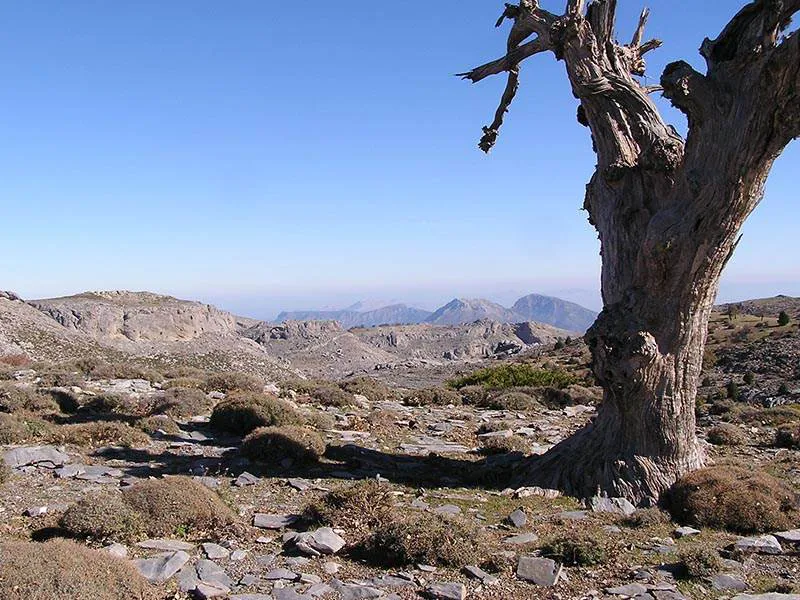

Stunted Oak, Torrecilla
From the car park at the recreation area take the good track that leads up the valley to the north. You will go around a chain across the track. After a few metres, you will see a rock with, painted on it in white, Torrecilla, and an arrow directing you across a stream. Take this path through pine woods. After a short way there is a false path off to the left, ignore it and keep on the marginally better path ahead as it starts to climb into a heavily wooded valley.
Ascend the valley on its southern side, keeping to the well-worn path marked with the occasional post. Towards the head of the valley you cross to the northern side and a short way further you will see what appears to be a very low wall across the path. It is here that you bear off right on a less well-defined path.

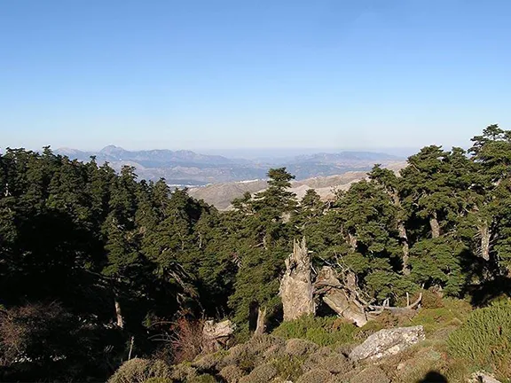
Out of the Woods, Torrecilla
The new path soon improves as you leave the tree line behind and emerge onto a rocky ridge scattered with particularly sharp thorny plants. On top of the ridge is a good track that leads to the radio station. Turn left towards the radio station and you will see a Junta panorama sign on your right. The walk so far will have taken about 1hr 30 minutes.
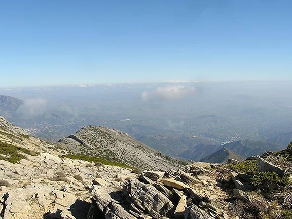
At this point assess the weather. Torrecilla is the peak that dominates the view to the southeast.
The next section of the walk is a fairly flat high mountain walk taking you through a limestone landscape with stunted shrubs and even more stunted and very occasional, oak trees. It starts a few metres beyond the panorama sign and is marked with a post. The path takes you off the radio station track to your right. There is a high ridge to your left and the path follows the contour line at roughly 1,750 metres in a northeasterly direction. Torrecilla soon becomes hidden behind one of three ridges that block the view to the east as the path takes you on to a broad shoulder.
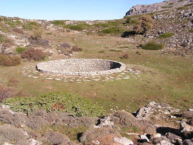
Snowhole, Torrecilla
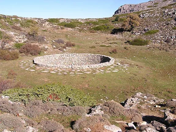
On the rounded top of the shoulder is a renovated snow hole. In previous centuries the snow was packed into the stone-lined pit and compressed so that it formed ice. During the summer the ice was transported down the mountain by mules to be used for preserving food. You can imagine that ice was not cheap.
Just beyond the snowpit there is a signpost and you will see that you have walked 4.4 kilometres so far. You carry on ahead around the northern side of the first two ridges mentioned earlier. The views open out first to the north and then as you walk further, to the east. It is from this section that, on a good day, you will have your first glimpse of Mulhacen in the Sierra Nevadas, the highest mountain on mainland Spain; in early November it already had a snowy cap.

The Goal, Torrecilla
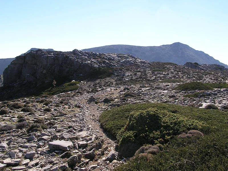
Suddenly and quite dramatically the path turns south and you go between two limestone buttresses to be presented with the goal directly ahead, viewed over the low shoulder between two low hills on the third ridge.
Pass over the shoulder. On your left are caves, one is a shrine in which local people leave flowers, particularly on the 1st November, and a second is a shrine dedicated to the Virgin de las Nieves. From the latter, a freshwater spring emerges that has, reputedly, healing powers but in any case is clean, cold and very welcome.
This is the second point at which you should assess the weather. You should allow about 3 hours to return from here. The Torrecilla summit is plainly visible to the southeast across a steep valley.
The path descends slightly and crosses the head of the steep valley then immediately starts to climb. In parts, it is indistinct due to water run-off channels and general erosion so make sure you can always see the next highest marker post. About two-thirds of the way up the path takes you onto the long summit ridge with impressive views to the southeast. Eventually, after a hard climb, you emerge on the summit marked only by a cairn and a post box.
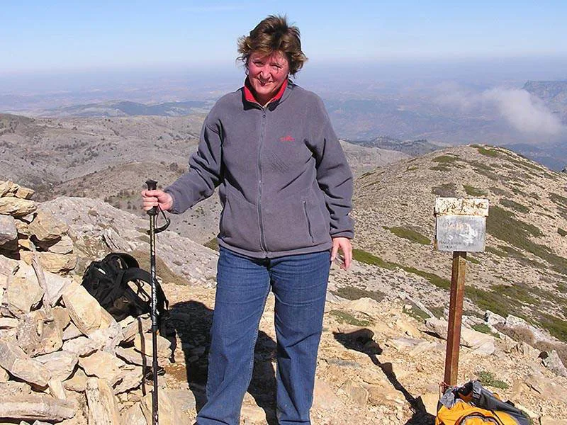
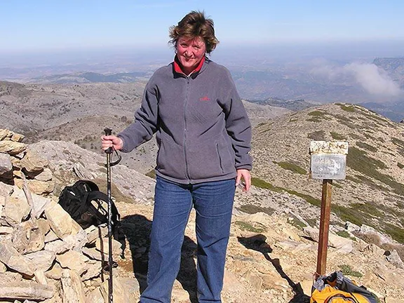
Julie's Prooudest Moment, Torrecilla
From there you have panoramic views of up to 150 kilometres in any direction. Close to home, appearing almost underfoot to the west is Los Reales and really seeming to be just a step away but in reality, 30 kilometres, is La Concha, which overlooks Puerto Banus.
Words cannot cope with the magnificence of the landscape or the sense of achievement on reaching this high peak.
Start and Finish: Area Recretivo Los Queligales.
Distance: 22 kms.
Difficulty: Hard.
Time: Allow 4 hours to the summit and between 3 and 4 hours for the return.
Essential: Boots, waterproofs, warm clothing, food, water, rucksack. Mobile phone, pen, paper, compass and map are advised.
© Visit-Andalucia 2015 - 2024
 Eagles and Vultures walk
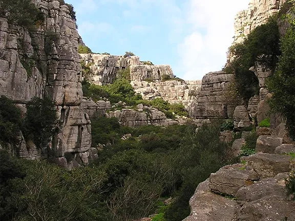 Utrera Gorge Walk
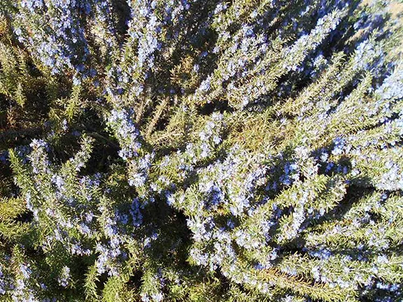 Rosemary Walk
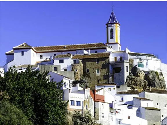 Yunquera
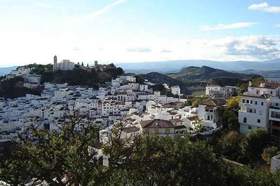
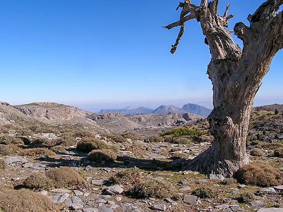 Sierra de las Nieves Parque National
 Ronda
Ronda